logo
Antigua And Barbuda Outline Map
Title:Antigua And Barbuda Outline Map
Permission:For personal use only

Antigua And Barbuda Outline Map Coloring Page

Color this coloring book the way you like! This page features a wonderful drawing that will suit children of all ages. If you like, you can encourage your children to paint with watercolors. We recommend purchasing a set of watercolor pencils instead of regular ones because they blend better when mixed. You can use these printable coloring pages to add some color to your decor!

Explore Caribbean Geography with this Antigua and Barbuda Map

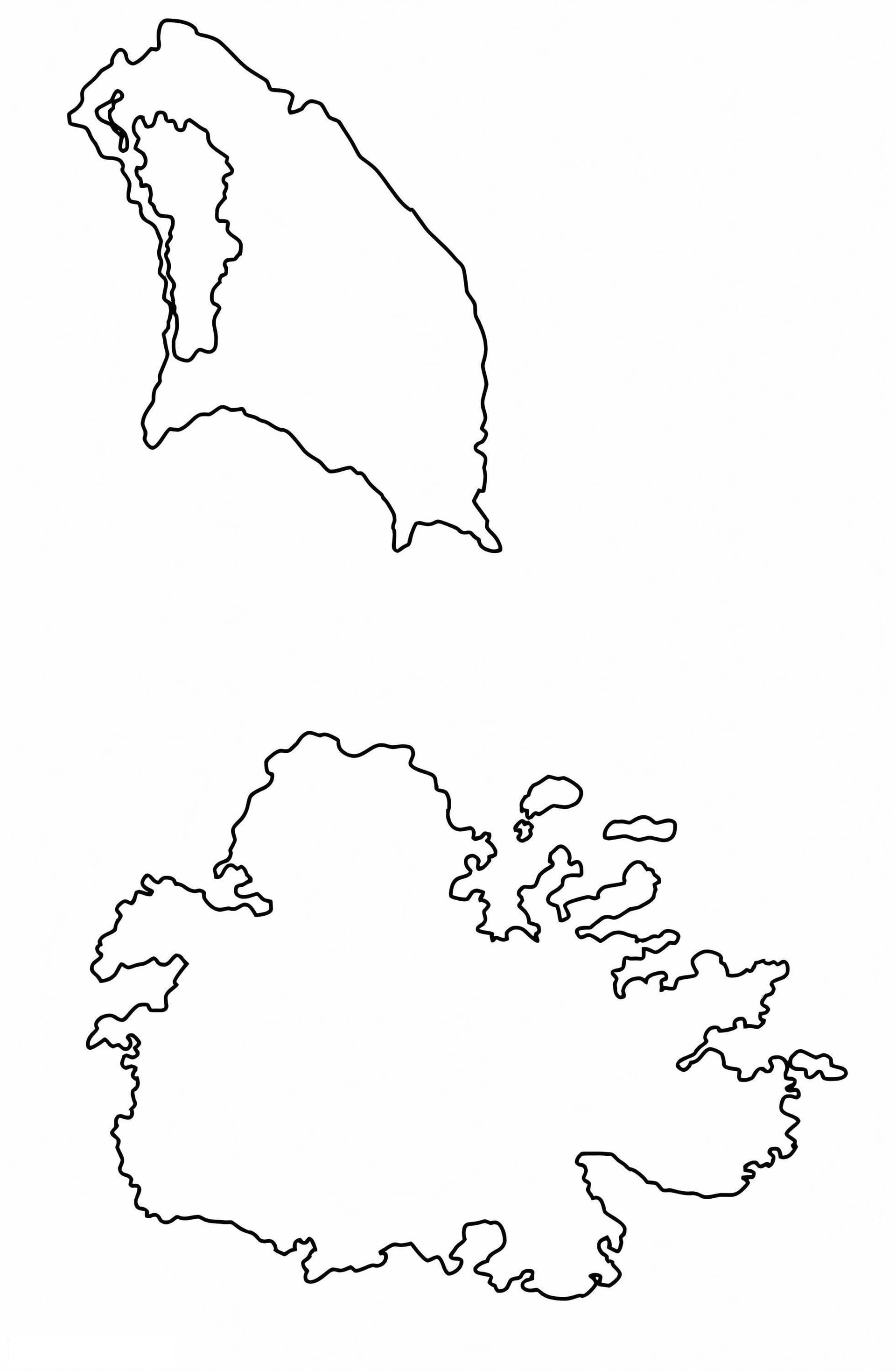
Discover the beauty of the Leeward Islands with this high-quality Antigua and Barbuda outline map coloring page. This clean and precise illustration captures the distinct shapes of the two major islands, making it an essential resource for students, teachers, and geography enthusiasts.

This free printable is designed to be versatile and educational. It provides a blank canvas that allows users to engage with the map in various ways:

  • Geography Lessons: Perfect for labeling the capital city of St. John's, naming the surrounding bodies of water, or marking significant landmarks.
  • School Projects: An ideal visual aid for reports on Caribbean nations or Commonwealth countries.
  • Creative Coloring: Use different shades to distinguish between the islands of Antigua and Barbuda or distinct elevations.

Recommended Coloring Tools

Since this is a map with specific boundaries, we recommend using colored pencils or fine-tip markers for precision. Use deep blues for the Atlantic Ocean and Caribbean Sea, and lush greens or earthy tones to fill in the landmasses. This PDF coloring page is optimized for A4 printing, ensuring crisp lines suitable for users of all ages.