logo
France Map 2
Title:France Map 2
Categories:
Permission:For personal use only

France Map 2 Coloring Page

Color this coloring book the way you like! This page features a wonderful drawing that will suit children of all ages. If you like, you can encourage your children to paint with watercolors. We recommend purchasing a set of watercolor pencils instead of regular ones because they blend better when mixed. You can use these printable coloring pages to add some color to your decor!

Educational France Map Coloring Page

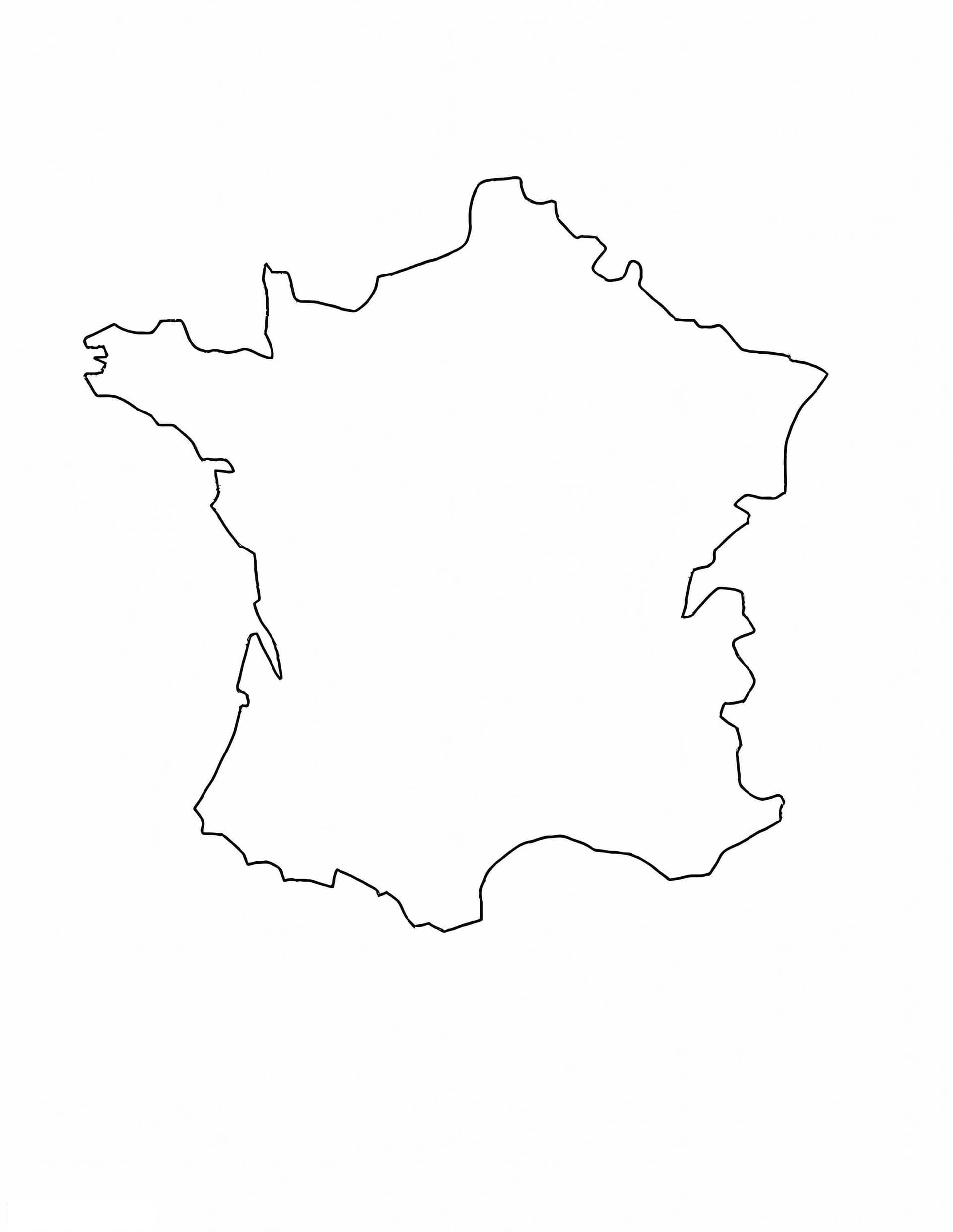
Immerse yourself in European geography with this France Map coloring page. Designed as a clear and precise outline, this printable sheet is perfect for students, teachers, and geography buffs looking to memorize the shape and borders of France. Whether used for a classroom project or a homeschooling activity, this "France Map 2" edition provides a blank canvas ready for creativity and learning.

This high-resolution illustration focuses on the clean borders of the country, making it ideal for standard A4 printing. It provides a distinct separation from the ocean and neighboring countries, allowing for easy coloring without going over the lines.

How to Use This Map for Learning

  • Geography Lessons: Use colored pencils to shade different regions or departments to learn how France is divided administratively.
  • Labeling Activity: The ample white space inside the border is perfect for writing the names of major cities like Paris, Marseille, and Bordeaux using fine-tip markers.
  • Physical Geography: Draw in major rivers such as the Seine and the Loire, or sketch the distinct mountain ranges of the Alps and Pyrenees to enhance your map skills.