logo
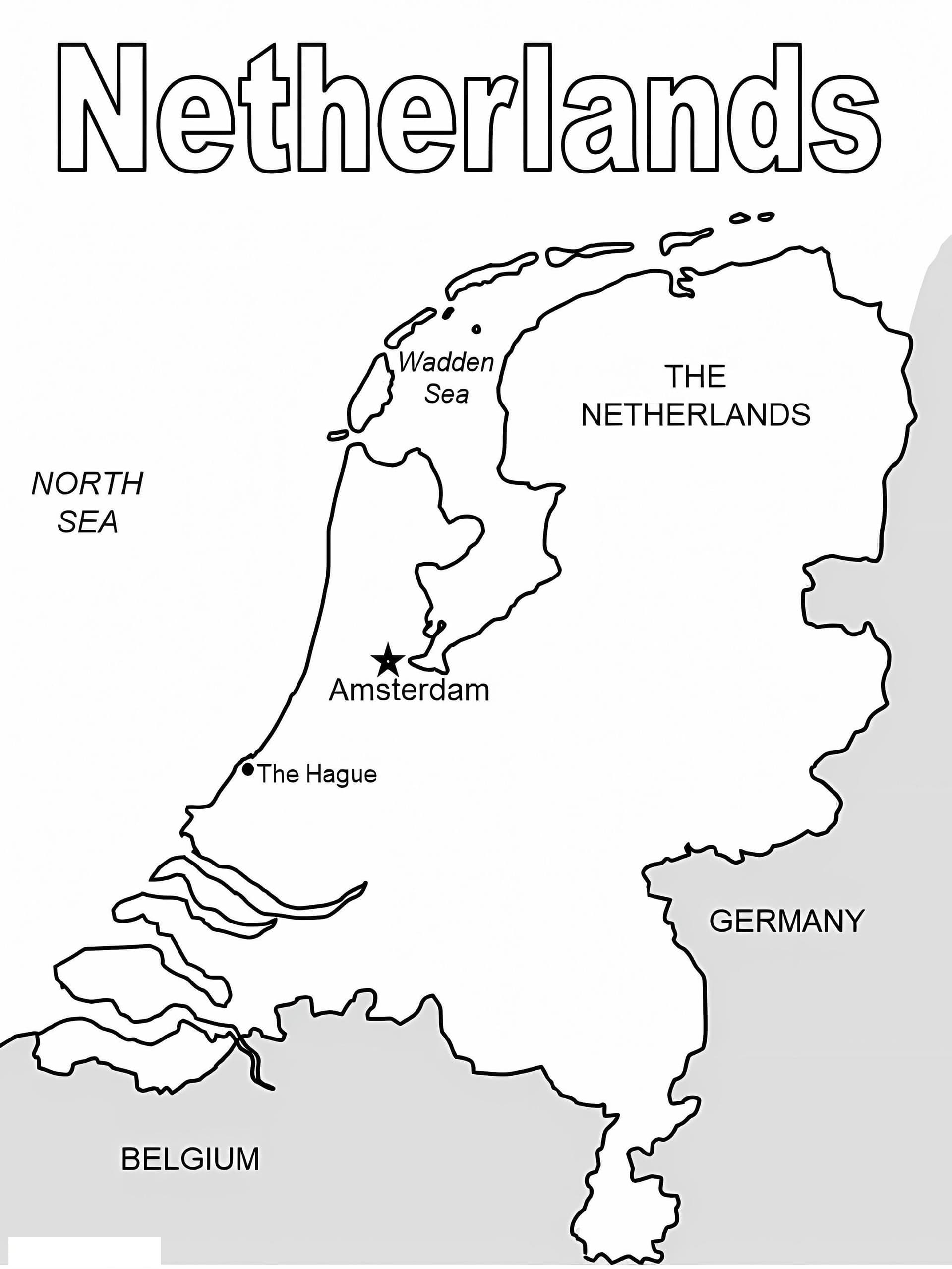
The Netherlands Map
Title:The Netherlands Map
Categories:
Permission:For personal use only

The Netherlands Map Coloring Page

Color this coloring book the way you like! This page features a wonderful drawing that will suit children of all ages. If you like, you can encourage your children to paint with watercolors. We recommend purchasing a set of watercolor pencils instead of regular ones because they blend better when mixed. You can use these printable coloring pages to add some color to your decor!

Explore Europe with The Netherlands Map Coloring Page

Embark on a geographical adventure with our The Netherlands Map coloring page. This high-quality, printable educational resource is perfect for students, teachers, and parents looking to combine art with learning. The illustration features a precise, high-resolution outline of the country, highlighting its unique coastline along the North Sea and its land borders with Germany and Belgium.

This free printable PDF is an excellent tool for geography projects. Kids can color the twelve provinces in distinct shades, label major cities like Amsterdam and Rotterdam, or simply enjoy filling in the map. The clean, A4-ready design ensures crisp lines suitable for printing on standard paper.

Recommended Coloring Techniques

  • Fine-Liner Pens: Best for tracing the detailed coastline and the Wadden Islands.
  • Colored Pencils: Ideal for shading different provinces gently to keep the text or labels visible.
  • Blue Markers: Use various shades of blue to depict the extensive water networks and the sea.

Download your copy today and make geography class interactive and fun!